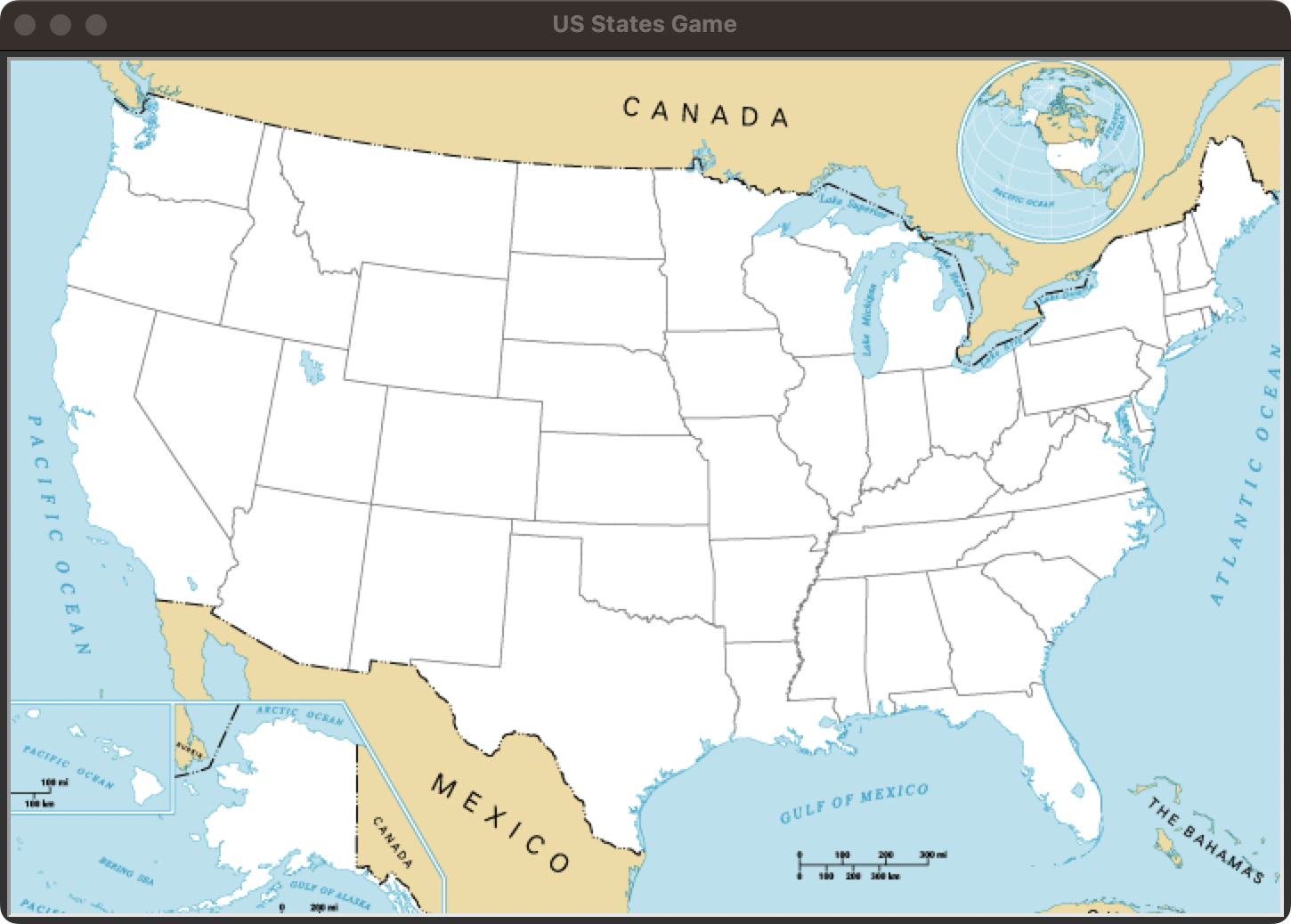
US States Guesser combines a graphical map with structured CSV data. Players
enter state names, and correct guesses are placed at their geographic
coordinates on the map.
What it explores
Reading and filtering structured data with Pandas
Matching normalized user input against a dataset
Mapping data coordinates onto a graphical interface
Tracking progress across repeated guesses
Exporting unguessed states as a personalized learning list
The project connects data processing with immediate visual feedback, turning a
small CSV dataset into an interactive study tool.